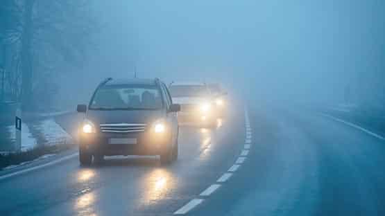
If you are in the Shenandoah Valley and planning to travel on Sunday, there could be sleet and freezing rain to start the day.
AccuWeather Senior Meteorologist Tom Kines said they aren’t predicting snow on Sunday for the Valley, but conditions early could make for slick roads. If you are planning to travel on Sunday for shopping or to get back home, you might want to wait until temperatures get above freezing.
“This does not look like a storm that will have enough frozen precipitation to cause power outages and take down tree limbs, but there could certainly be some slick roads early Sunday,” he said.
Temperatures on Sunday afternoon should be well above freezing.
While the Valley won’t likely see snow, temperatures this weekend will be frigid with RealFeel lows down to 12 degrees on Thursday night. High temperatures will range from 39 degrees to 44 degrees through Sunday.
Kines said they are also watching a storm that is developing and should arrive early next week in Virginia.
“Right now, it looks like rain with the potential for snow and ice at the start,” he said. “Those traveling early in the week should keep up with the latest forecast.”
Northern Michigan, northwestern Pennsylvania and western New York are bracing for a snowfall event that will begin late tonight and bring up to 36 inches of snow.
Drivers traveling on interstates 75, 79, 80, 81, 86, 90 and 196 should monitor local forecast lake-effect and snow squall warnings and be prepared for rapidly changing road and visibility conditions. Some highways may close due to heavy snowfall rates, according to AccuWeather.
Additional storms are developing which could also impact travel for those headed home after the holiday.
Support AFP


Crystal Graham