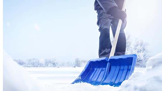
As many people in Virginia worked to shovel their sidewalks and dig out from this weekend’s storm, talk turned on Monday to the possibility of another event bringing a foot or more of snow on Friday.
While there was potential for much of the Shenandoah Valley and state to get walloped, the experts said they’d have a better picture of the track of the storm on Tuesday.
There was still a chance that the storm could weaken and pass south of Virginia. A third option would bring sleet and freezing rain to the Commonwealth.
By Tuesday midday, the path of the storm and its potential impact on Virginia became much clearer to meteorologists with a “lot less question marks.”
“It doesn’t look like a big storm for the area, probably a couple or a few inches,” said Tom Kines, AccuWeather senior meteorologist. “It doesn’t look like freezing rain or sleet will get involved.”
Most of the snow should reach Virginia some time Friday night, leading to poor travel conditions on Saturday morning.
“For most of the state this looks like a one- to three-inch snowfall,” Kines said. “The far northern part of the state might have a little bit more.”
The storm system may also bring wintry precipitation to Dallas, San Antonio, Little Rock, Memphis and Nashville Wednesday night into Friday.
Winter Storm Blair brought two to six inches of snow to most of the Shenandoah Valley on Sunday night causing many schools to close throughout the state.
Support AFP


Crystal Graham