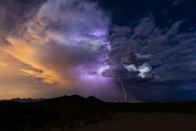
The National Weather Service issued a Special Weather Statement this afternoon to report that a line of thunderstorms is expected to move east across the region as the afternoon and evening progress.
These storms will bring the possibility of damaging wind gusts and isolated tornadoes. Be sheltered when these thunderstorms pass through your area. The most likely timing of the line ranges from mid to late afternoon for the Potomac Highlands, to the evening for the Baltimore/Washington metros, to between 9pm and midnight for areas east of I-95 to the Chesapeake Bay.
The storms will likely last an hour or less in most areas. Stay informed. For more exact timing for your location, consult the forecast for your community at our website weather.gov or our Facebook or Twitter feeds for National Weather Service Baltimore/Washington.
Support AFP


AFP