The Friends of the Middle River took water samples and tested for chloride over the winter of 2018-2019 to determine how salt used to melt ice in the winter was running off in snowmelt and rain events and getting into the river.
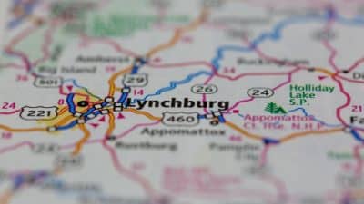
Eleven volunteers monitored at 10 different sites along 30 miles of river, targeting downstream of several bridges, including the Interstate 81 bridge that crosses Middle River. Results of this pilot project indicate that very little salt was measured in Middle River under the 2018-2019 winter weather conditions.
The team made over 100 measurements using chloride test strips by coordinating their data collection around the 6 largest salt/ice/snow weather events of the 2018-2019 winter season. In nearly every case, chloride was measurable in the river, but it measured at the lowest levels. The danger level of chloride is considered to be 230 parts chloride per million parts of water.
Technically, the danger level is a 4-day average concentration above 230 mg/L that is to not be exceeded more than once in a 3 year period.
The highest reading at any point on Middle River this winter was 42 parts per million, which occurred just downstream of the I-81 bridge that crosses Middle River. At a location on Christian’s Creek near the point it enters Middle River, one monitor got a reading of 49 parts per million. FOMR used a monitoring protocol developed by the Izaac Walton League of America.
The FOMR team had hypothesized that salt levels would increase over time throughout the winter as salt was repeatedly applied to roads, or that salt levels would increase further downstream compared to upstream as an effect of accumulation from many points of input.
Larger metro areas in parts of Virginia have had more problems with runoff of road applications of chloride salts and some communities are developing a Salt Management Strategy in part to implement Total Maximum Daily Loads (TMDLs) set by the Department of Environmental Quality (DEQ) in areas of northern Virginia.
Because local levels were found to be so low, FOMR does not intend to continue monitoring again this winter in 2019-20, though they may take periodic readings in the future to make sure nothing is changing. A significantly stormier winter weather pattern could create conditions where higher quantities of salt are used more frequently, which could show up as water quality changes.
About Friends of the Middle River
Friends of the Middle River is a non-profit established in Augusta County in 2010. FOMR promotes the stewardship and enjoyment of the Middle River Watershed through volunteer action, education, science and outreach and does a number of types of water quality testing of Middle River. Web: www.friendsofthemiddleriver.org.
Article by Kate Guenther, watershed administrator and Salt Watch Team coordinator
Support AFP


AFP