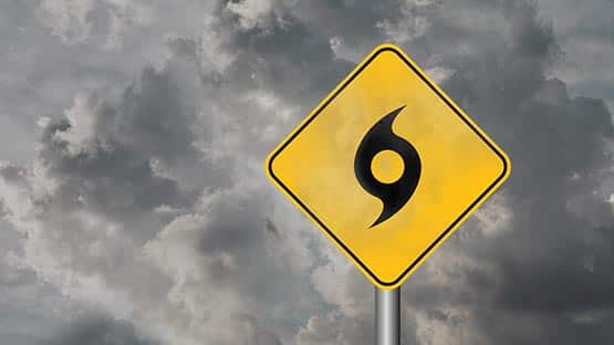
Two tropical systems are developing that could impact the East Coast, including Virginia, early next week.
The Virginia Department of Emergency Management is tracking the potential for flooding rain and wind over Virginia due to tropical activity in the Atlantic.
Invest 94L will likely become Imelda soon, the official name when wind speeds in the system reach 39 miles per hour. As of now, it remains a weak system, making it difficult to predict its future movement and intensity.
Based on the latest models, the storm could impact Virginia as early as Monday morning, though most models show the likely impact to occur later, on Monday evening or Tuesday.
A second storm in the Atlantic, Humberto, is forecast to strengthen into a major hurricane this weekend, but it is not expected to make landfall in the U.S.
Humberto will likely pass between Bermuda and the U.S. East Coast early next week.
How does Humberto impact this developing storm? A meteorological tug of war will likely determine whether Invest 94L will bring impacts to the Southeast U.S. early next week, or if Humberto will pull it out to sea, according to AccuWeather.
ICYMI
Three scenarios possible for tropical system
For the U.S., forecasters are focusing on Invest 94L, which has potential to make landfall in the U.S, but there is still a great deal of uncertainty regarding the storm.
Three scenarios are possible for the 94L storm, according to AccuWeather senior meteorologist Tom Kines.
Scenario one would keep Invest 94L/Imelda off the coast and turn it northeast.
The second scenario would bring the tropical storm or Category 1 hurricane ashore in South Carolina or extreme southern North Carolina on Monday night or early Tuesday.
The third possibility, and worst-case scenario, Kines said, would be for the storm to stall just offshore of the South Carolina coast which would result in a long period of wind, rain and rough surf at the beaches of South Carolina and North Carolina.
“It’s still very difficult to find the actual low-pressure area as of noon, which makes the computer guidance somewhat questionable – so still some question marks regarding the storm,” Kines told AFP.
The City of Virginia Beach is monitoring the storm for the potential impact of winds, heavy rain and storm surge within the next few days. The city is making plans for possible scenarios and wants residents and businesses to be prepared for potential impacts of the storm, which could include losing access to food, water, electricity, cellphone service or other services. It is meeting with those planning the weekend’s Neptune Festival. Current city actions include staging high water and public safety vehicles, upstaffing the emergency call center, securing active construction sites and removing shade sails, banners and small tents from the Oceanfront.
In North Myrtle Beach, S.C., the city is carrying out standard preparations to ensure readiness in the event of local impact. Lifeguard towers have been removed from beaches. City officials recommend that residents use the time ahead of the storm to review hurricane kits, stock up on essential supplies and confirm emergency plans.
Experts suggest anyone in the potential impact area be weather-aware this weekend, and make preparations in the event of hurricane or tropical storm conditions.
“We think residents from Florida to Virginia need to pay attention to future forecasts,” Kines said.
“Regardless, rough surf, dangerous rip currents and coastal flooding can occur along the East Coast of the U.S.”
For more information on preparation and evacuation routes in Virginia, visit www.vaemergency.gov/threats/hurricanes
Support AFP


Crystal Graham