
Hurricane Erin won’t make landfall in the United States, but there are still dangers for the Atlantic coast this week with the potential for pounding surf, strong rip currents and beach erosion from the Carolinas to New England, according to AccuWeather.
The storm intensified at record speed, from a Category 1 to a Category 5 storm in one day. Currently, it has weakened to a Category 2 hurricane with 105 miles per hour winds, but there is still the possibility it could strengthen again over warm water.
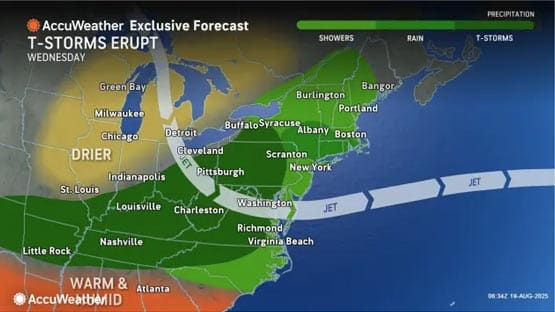
Storms like Hurricane Erin demonstrate how even offshore systems can have wide-ranging impact on the U.S. The current storm track has Erin’s eye passing approximately 200 miles offshore.
“While it won’t make landfall, the storm’s impact on the East Coast could be significant,” said Robert Weiss, a coastal hazards expert at Virginia Tech.
“High waves and rip currents could create dangerous conditions for tourists along the coast.”
Flooding, beach erosion likely
Hazardous beach conditions are predicted from Florida to New England.
Winds and waves are expected to lead to significant flooding and beach erosion in the Outer Banks this week. A Tropical Storm Warning is in effect from Beaufort Inlet to Duck; a Tropical Storm Watch is in effect from Duck to Cape Charles.
Hurricane force winds are reaching 80 miles beyond the eye of Erin, and tropical-storm winds are reaching 230 miles from the center, according to AccuWeather. Storm surge and waves could combine to 10 to 15 feet, with locally higher amounts of 20 feet. Waves over the open ocean near the center of Erin may approach 50 feet, according to AccuWeather experts.
The worst conditions are expected late Tuesday through Thursday.
Rodanthe and other areas in the OBX may deal with homes being washed into the sea.
“The damage from erosion and inundation could leave roads impassable for days, making rescues and evacuations nearly impossible,” said Alex DaSilva, a lead hurricane expert with AccuWeather. “Some beach houses in areas battling beach erosion could be damaged or even collapse into the rough surf this week.”
Depending on Erin’s track, outer rain bands may impact North Carolina, and there is potential for indirect rainfall further inland.
A number of beaches throughout the U.S. have closed or banned swimming in advance of Erin including many in New Jersey, Delaware, Massachusetts and Maryland: Jersey Shore, Assateague Island, Ocean City, Rehoboth, Dewey Beach and Fenwick Island, to name a few.
In Virginia Beach, experts are warning residents and visitors to use caution and pay attention to forecasts. Red flags have been placed in the resort area to warn visitors of the dangerous conditions.
“Right now, we’re just really keeping a close eye on the forecast and the development of Hurricane Erin,” Dave Topczynski, Virginia Beach Director of Emergency Management, told WAVY. “You know, there’s a lot of differences in the tracks of where how close [Erin] could come to the coast or stay offshore. So right now, we’re going through our checklist, looking at the different predictions and how it could impact the city.”
Rapid intensification: The evolution of hurricanes
Experts say that storms like Erin highlight a troubling trend in how hurricanes continue to evolve.
“We’re entering the most active part of hurricane season,” said Stephanie Zick, an associate professor of meteorology at Virginia Tech. “Most storms that reach major hurricane strength go through at least one period of rapid intensification, which is defined as an increase of peak wind of 30 knots (34.5 mph) in 24 hours.”
While rapid intensification is fairly common in hurricanes, we are seeing higher rates than in the past, she said.
“As sea surface temperatures increase, hurricanes are expected to have more energy to support higher intensification rates.”
Storm intensity alone does not tell the full story, it’s just one factor, according to Zick.
“The maximum sustained winds are important and can cause great devastation, but wind damage is usually highly localized in an area near the center of the storm. Hurricane size is arguably more important because larger storms can bring higher storm surges and more rainfall.”
Erin is the first named hurricane of the Atlantic season.
Related stories
- Category 5 hurricane to fuel dangerous surf in Virginia Beach, Outer Banks
- Expert: Hurricane season picking up steam, impact likely in Virginia
- Prepare now: Expert predicts above average Atlantic hurricane season
- Hurricane watch: Storm count expected to be normal, rapid intensification risk higher
- Virginia Tech cadets forgo traditional hike to help nearby community damaged by Helene
- Virginia Tech students, employees help with Helene cleanup in Giles County
- Analysis: Hurricane Helene’s impact on agricultural producers in Virginia may reach $630M
- Virginia Tech experts recommend factchecking viral images before sharing on social media
Support AFP


Crystal Graham