 Albemarle County announces the launch of the new GIS Web, the public mapping tool. The new interface has the same functionality as the old system, but with several new features and improvements.
- Centralized searching that is linked directly to the map on the same screen
- Single screen viewing of parcel details and improvement information
- Enhanced cartography
- Mobile friendly
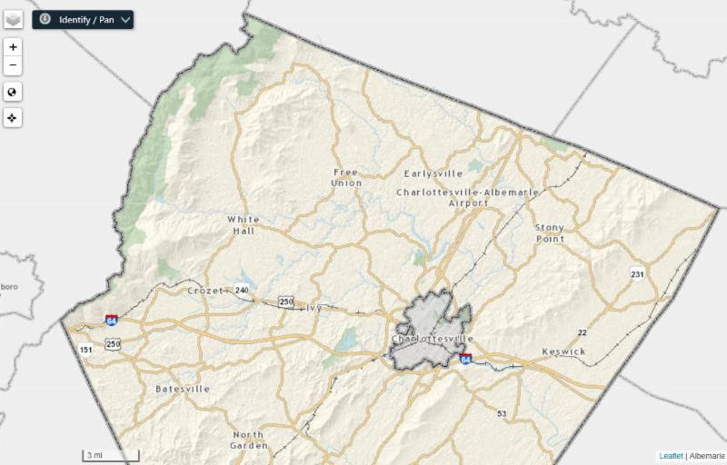
For community members unfamiliar with the GIS Web, it is a tool that shows property assessment information, land cover, zoning classifications and overlays, school districts, voting precincts, and many other public information associated with each property in the county.
For information on how to use the new GIS Web, including video tutorials and PDF reference guides, click here.
Launch the new GIS Web here.
The former system will remain accessible through May 31, 2019 to allow community members time to become familiar with the new interface.
Contributors