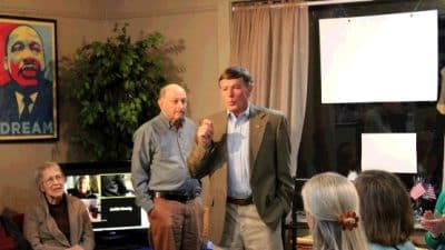
 Virginia Tech faculty members and graduate students will get to present their remote sensing research to scientists from across the world when the Landsat Science Team meets on the Blacksburg campus Jan. 12-14.
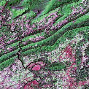
The team is made up of national and international leaders in Earth resource remote sensing, including Randolph Wynne, professor of forest remote sensing in Virginia Tech’s College of Natural Resources and Environment. Team members analyze data collected by the succession of satellites that have orbited the Earth since 1972 and provide input on future missions and equipment.
As a joint initiative between the U.S. Geological Survey (USGS) and NASA, the Landsat Project and the data it collects support government, commercial, industrial, civilian, military, and educational communities throughout the United States and worldwide. At the January meeting, the Landsat Science Team will review major science product opportunities and recommend priorities for the next mission.
“The team wants to make sure that the remotely sensed data will enable us to monitor and model critical environmental systems at regional, national, and global scales,” Wynne said.
Virginia Tech researchers will have the opportunity to showcase their work, and selected students in the Interdisciplinary Graduate Education Program in Remote Sensing will deliver PechaKucha presentations — which feature a maximum of 20 slides with 20 seconds spent on each slide. The graduate students will also be allowed to attend meetings and see decisions made about sensors and platforms for the next satellite.
“It is an honor that Virginia Tech is hosting the 2016 meeting,” Wynne said. “World-class scientists from Australia, the United Kingdom, Germany, and other European Union countries, as well as the U.S., will be here. USGS and NASA are the organizers and they wanted to come here, in part, to see what we’re doing here at Virginia Tech.”
In addition to being a member of the Landsat Science Team, Wynne is co-principal investigator, with Valerie Thomas, associate professor of forest remote sensing, of research funded by related USGS contracts.
“The research goal is to improve our collective ability to monitor, model, and manage the Earth system — and, in particular, forest ecosystems — through improvements in both the preprocessing and analysis of multi-temporal Landsat data,” Wynne explained.
“We are working to improve our ability to be alerted quickly when there are significant changes to a landscape,” he continued. “Whether the application is disaster management or agricultural productivity, urban expansion or forest loss, detecting these changes is critical to understanding a wide variety of Earth system processes.”
Contributors